
Event Title
Building a Digital Atlas of the Pacific Northwest
Description
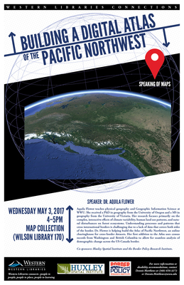
Aquila Flower teaches physical geography and Geographic Information Science at WWU. She received a PhD in geography from the University of Oregon and a MS in geography from the University of Victoria. Her research focuses primarily on the complex, interactive effects of climate variability, human land use patterns, and natural disturbances on forest ecosystems. Understanding processes and patterns that cross international borders is challenging due to a lack of data that covers both sides of the border. Dr. Flower is helping build the Atlas of Pacific Northwest, an online clearinghouse for cross-border datasets. Her first addition to the Atlas uses census records from Washington and British Columbia to allow for seamless analysis of demographic change across the US-Canada border.
Document Type
Event
Start Date
3-5-2017 4:00 PM
End Date
3-5-2017 5:00 PM
Location
Map Collection (Wilson Library 170)
Resource Type
MovingImage
Genre/Form
lectures
Geographic Coverage
Northwest, Pacific--Population
Subjects - Topical (LCSH)
Land use--Northwest, Pacific; Climatic changes--Northwest, Pacific; Natural resources--Northwest, Pacific
Poster
Language
English
Format
video/mp4
Building a Digital Atlas of the Pacific Northwest
Map Collection (Wilson Library 170)
Aquila Flower teaches physical geography and Geographic Information Science at WWU. She received a PhD in geography from the University of Oregon and a MS in geography from the University of Victoria. Her research focuses primarily on the complex, interactive effects of climate variability, human land use patterns, and natural disturbances on forest ecosystems. Understanding processes and patterns that cross international borders is challenging due to a lack of data that covers both sides of the border. Dr. Flower is helping build the Atlas of Pacific Northwest, an online clearinghouse for cross-border datasets. Her first addition to the Atlas uses census records from Washington and British Columbia to allow for seamless analysis of demographic change across the US-Canada border.
Comments