Home
Search
Browse Collections
My Account
About
Digital Commons Network™
Skip to main content
CEDAR Home
About
Western Libraries
FAQ
My Account
Western CEDAR
Home
>
Speaking of Maps Image Gallery
Speaking of Maps Image Gallery
Printing is not supported at the primary Gallery Thumbnail page. Please first navigate to a specific Image before printing.
Follow
Switch View to List
View Slideshow
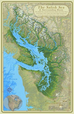
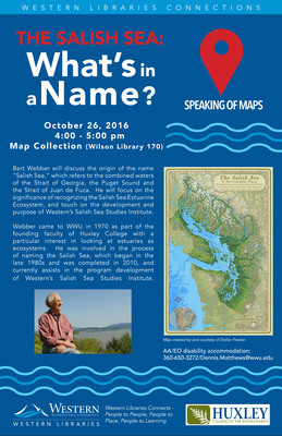
The Salish Sea: What's in a Name?
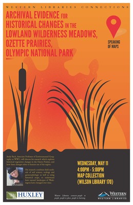
Archival Evidence for Historical Changes in Lowland Wilderness Meadows, Ozette Prairies, Olympic National Park
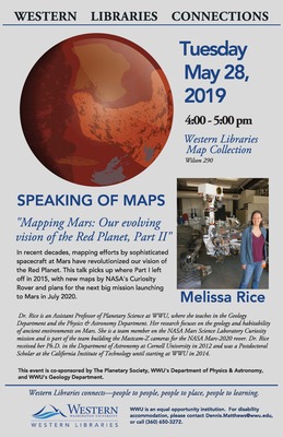
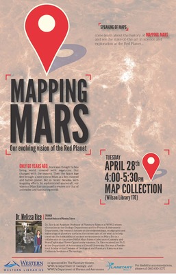
Mapping Mars: Our Evolving Vision of the Red Planet
Melissa Rice, Speaking of Maps, Spring 2015
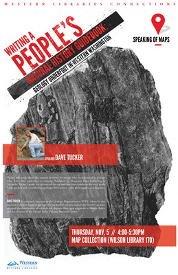
Writing a People's Natural History Guidebook: Geology Underfoot in Western Washington
Mapping Mars: Our Evolving Vision of the Red Planet
Writing A People's Natural History Guidebook: Geology Underfoot in Western Washington
1
2
Browse
Collections
Disciplines
Authors
Faculty Profiles
Search
Enter search terms:
Select context to search:
in this collection
in this repository
across all repositories
Advanced Search
Notify me via email or
RSS
Contributors
Author FAQ
Links
Western Libraries
Other Digital Collections
Accessibility Statement
Gallery Locations
View gallery on map
View gallery in Google Earth


